 |
| Note the red brick "line" that marks the trail. |
Despite some early frustration trying to get to Boston Common due to the fact that our GPS kept wanting to take us to Charlestown rather than Charles Street, we eventually found our way, parking about a block away and walking to the Commons.
 |
| Freedom Trail Map |
The trail is marked by a red line that you follow through the city. There were a couple of spots where the line was so faded that it was difficult to figure out which direction to go. Fortunately we only had to pull out the GPS once or twice :-)
I now understand Winthrop's "City on a Hill" comment (emphasis on the HILL part) as I'm pretty sure we walked over most of the the "hill" as we made our way along the trail.
For the record, Boston was crowded. Tons of folks there for the July 4th weekend. Boston also has very narrow streets in some places, a legacy of its colonial past, making the crowding even worse.
A Little Background:
Boston was established in 1630 by a band of Puritans seeking to establish a "City Upon a Hill" that would show the Anglican Church how things ought to be done. From the Puritans' point of view the Anglican Church was simply too Catholic, and they sought to purify the church of all hints of Catholicism. Under the leadership of John Winthrop (who became the colony's first governor) the Puritans set out for the "New World," which of course wasn't so new anymore, and attempted to create a Puritan society. By the by, these were not tolerant people. Quakers were routinely run out of town or in some cases hanged if they refused to leave. Church was mandatory but not everyone was a full member which was problematic as only full church members had a vote. Roger Williams, and later Anne Hutchinson, were both banished from the colony for their Antinomian beliefs.
 |
| Portrait of John Winthrop in Mass. State House |
First Stop: Boston Commons

Boston Commons was established in 1634, four years after the founding of the Massachusetts Bay Colony in 1630. It's main function was a common grazing area for the community's livestock, although during the Revolution it also housed colonial activists and British redcoats.
The Commons hosts a wide variety of monuments and activities including a bandstand and a water park/playground for the kids. Along with all the tourists were many locals enjoying the day.

The park is bordered by Beacon St., Charles St., Tremont St., Boylston St. and Park St. and is 50 acres. For the record, when native Bostonians say Boylston it sounds like Boston to these southern ears. This led to a bit of confusion when asking directions!
The Frog Pond has a playground nearby and children were happily playing in the water the day we were there.
 |
| Detail of engraving based upon Paul Revere's print published in 1770 following the event. You can see the original color engraving here and learn more about the piece. |
 |
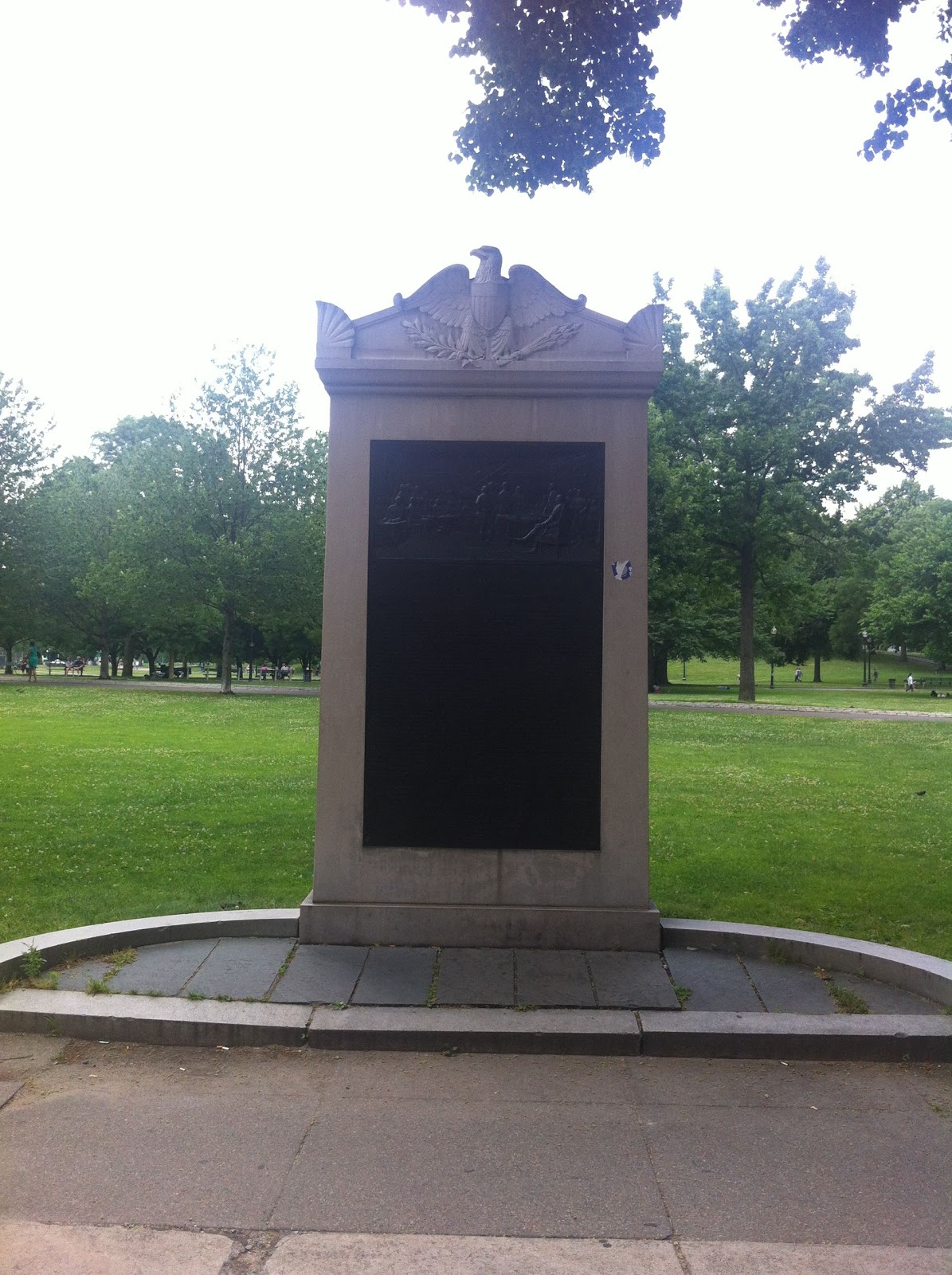
| Boston Massacre Monument, erected in 1888
There are also monuments dedicated to veterans and the Declaration of Independence.
|
 |
| Declaration of Independence |
 |
| Detail of Engraving. You can see the original painting by John Trumbull here. |
The Massachusetts State House is on Beacon Street. There is a pedestrian mall through the park (think of the Mall in Washington DC anchored by Lincoln Memorial and Congress on each end) that leads to the State House. The House was in session but we elected to skip listening in on the legislators and instead took in the grandeur of the building.
 |
| Middle Picture: view of Statehouse from Mall; Clockwise from top: Hall of Flags, World War II mural; Grand Staircase; Detail of stained glass at top of stairway; War Mothers Mural |
The State House also contains the portraits of all the governors from John Winthrop forward. It also includes the early governors of Plimouth Colony (yes, Plimouth is spelled correctly!).
The Nurses Hall is a tribute to the work of Clara Barton and all nurses who have served in America's wars. In the center of the hall is a tribute to current and past soldiers.

Old South Meeting House: First "Official" Stop on the Freedom Trail
This is going to sound corny, but of all the places we visited this was the place where I got all choked up. After the Boston "Massacre" a crowd of thousands assembled at the Meeting House and, under the urging of Sam Adams, forced Governor Hutchinson to remove the British out of Boston proper. Later on it was in this hall that the Boston Tea Party was planned and carried out, prompting Governor Hutchinson to issue a letter calling for the colonists to disband. Needless to say, the colonists carried on.
 |
| Letter from Governor Hutchinson |
Not long after Lexington and Concord, the British occupied Boston and immediately begin to attack patriot symbols. The Old South Meeting House was used as a riding school. Upon the British withdrawal from Boston proper, Washington looked down on the destruction from the balcony.
It was in this place that I felt the most connection to the past. I walked silently amongst the pews, touching the rails and thinking about all of the folks who had been here before me. One of my former high school teachers made a comment on my Facebook page when I announced my forthcoming trip to Boston: "Scientists say that we leave molecules every place we trod forever. You are breathing in the Adams', Franklin, Washington, plus all the statesmen who walked those streets. And of course, Whitney, you are leaving yours." The entire time I was there her words stayed with me and I still get a lump in my throat when I think about it. It was a history geeks' dream come true!
 |
| Pulpit Old South Meeting House It began its life as a Puritan meeting house. |
 |
| Pew Stalls Instead of rows of pews the meeting house has stalls. Often these stalls were rented out by families for generations. |
The Old Statehouse: The First Seat of Government
We only spent a little bit of time here. The Old Statehouse is small and there were a lot of people moving through it. Access to the exhibits and the historical rooms was via a very narrow, curved stairway.
 |
| L-R: Cane used to beat Charles Sumner; Spiral Staircase; John Hancock's personal effects. |
My favorite exhibits here were John Hancock's personal effects and the cane that was used to beat Charles Sumner just prior to the beginning of the Civil War.
The Old Statehouse also houses exhibits related to the Revolution, including a Writ of Assistance.
 |
| Portion of a Writ of Assistance |

James Otis argued against the writs in the Paxton case and even though he lost, Otis' arguments would become part of the colonial resistance to Parliamentary control in Massachusetts.
The Old State House also contains artifacts from the Stamp Tax, Tea Party and Boston Massacre.
The Boston "Massacre"
There is some argument about how much of a "massacre" this event was. Boston was already riled up about a number of British actions and the populace did not react kindly to the numbers of British Redcoats in town. An angry mob cornered a lone sentry and began pelting him with snowballs-- sounds innocent enough-- however the snowballs were packed with rocks. There is some question as to whether Captain Preston gave the order to shoot on the colonists, but regardless four colonials ended up dead. The Patriots immediately seized upon the propaganda opportunity. (I've made these larger so that you can see the details).
 |
| Original Revere Engraving and Account |
 |
| Alternative Engraving of Massacre by James Wells Chapney (1855) |
 |
| Franklin's Boston Gazette reports the Massacre |
 |
| Honoring the Dead, Boston Gazette, April 1770 |
The actual site of the massacre is just behind the Old Statehouse:

Paul Revere was a master craftsman (silversmith) and become most well known for his ride to alert the countryside of the movement of British troops to Lexington and Concord. Although Revere got all the fame, there were actually two additional riders who managed to elude the British (Revere was detained by the British and later released). The object of concern for the British was a stash of arms hidden in Lexington & Concord. It was here that the "shot heard round the world" was fired and the Revolution began in earnest in April, 1775. Keep in mind that the U.S. would not officially declare independence from Great Britain for over a year, July 2, 1776 (we erroneously celebrate the date that the final signatures were placed on the document rather than the day that the Declaration was passed by the Continental Congress).
 |
| The Ride |
Revere's house is on the North Side of Boston and is a fairly substantial two-story building. One young lady touring the house couldn't believe how "small" the house was--it was all I could do to keep from telling her that this was a mansion compared to most people's houses at the time! Photographs were prohibited inside, although I did sneak a few in!
 |
| Back of Revere House |
 |
| Street view of Revere House |
 |
| Interior Rooms: Kitchen Fireplace & table (left); Dining Room and Bedroom (right) |
 |
| "Paul Revere's Ride" |
A copy of the poem is in the current Massachusetts State house, along with a number of pop culture artifacts that have called upon the Revere legend.
 |
| RCA Advertisement |
 |
| Sheet Music |
A few blocks past Revere's house is the Old North Church. The hanging of the signal lanterns in its tower set the riders off on their journey. This is where I lost Loyd. His knees were bothering him after walking up and down the narrow stairs and hills so I left him at a small Italian bar with a glass of Sangria and a charcuterie plate while I headed over to the church.
 |
| Interior and Exterior Views Bottom Left is view from Revere Mall |
The cool thing is that all of the churches (with the exception of the Old South Meeting House) are still in use by present day congregations. How cool is that?! On Thursday the Old North Church closed early for a wedding rehearsal:

That's all for now. Still to come: Cemeteries on the Freedom Trail, Slater Mill and Plimouth Plantation.
No comments:
Post a Comment